 vesseltracker.com
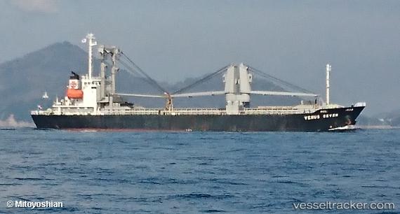
Vessel HIROMI IMO: 9260251, MMSI: 312148000 General Cargo Ship
UTC, 35.60897, 140.08002, course: 138, speed: 0
UTC, 35.47417, 139.82053, course: 240, speed: 10.4
2026-01-30 07:28:28 UTC, 35.26353, 139.76524, course: 140, speed: 11.2
Live AIS position:
UTC. Near Yokosuka),
updated 2026-01-30 07:28:28 UTC.
Find the position of the vessel HIROMI on the map. The latter are known coordinates and path.
marine traffic ship tracker show on live map
The current position of vessel HIROMI is 35.26353 lat / 139.76524 lng. Updated: 2026-01-30 07:28:28 UTCCurrently sailing under the flag of Belize
HIROMI built in 2001 year
Deadweight:
4999 tDetails:
Last coordinates of the vessel:
UTC, 35.60895, 140.07997, course: 137, speed: 0UTC, 35.60897, 140.08002, course: 138, speed: 0
UTC, 35.47417, 139.82053, course: 240, speed: 10.4
2026-01-30 07:28:28 UTC, 35.26353, 139.76524, course: 140, speed: 11.2