 vesseltracker.com
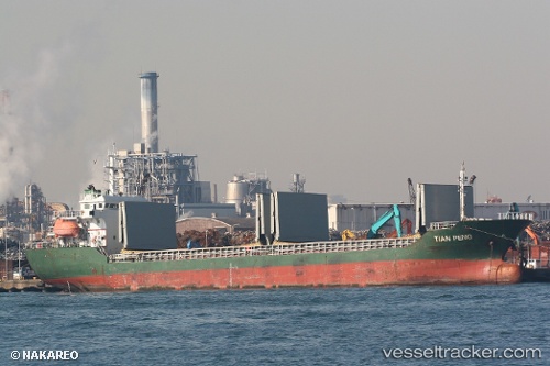
Vessel Tian Peng IMO: 9546265, MMSI: 312381000 General Cargo Ship
UTC, 25.98667, 119.44167, course: -1, speed: 0
UTC, 25.98667, 119.44167, course: -1, speed: 0
2026-01-13 11:29:14 UTC, 25.98667, 119.44167, course: -1, speed: 0
Live AIS position:
UTC. Near Lo-Hsing-Ta Mao-Ti),
updated 2026-01-13 11:29:14 UTC.
Find the position of the vessel Tian Peng on the map. The latter are known coordinates and path.
marine traffic ship tracker show on live map
The current position of vessel Tian Peng is 25.98667 lat / 119.44167 lng. Updated: 2026-01-13 11:29:14 UTCCurrently sailing under the flag of Belize
Details:
Last coordinates of the vessel:
UTC, 25.98667, 119.44167, course: -1, speed: 0UTC, 25.98667, 119.44167, course: -1, speed: 0
UTC, 25.98667, 119.44167, course: -1, speed: 0
2026-01-13 11:29:14 UTC, 25.98667, 119.44167, course: -1, speed: 0