 vesseltracker.com
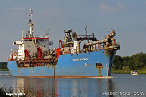
Vessel WESTFORD IMO: 7360162, MMSI: 312421000 Hopper Dredger
UTC, 32.82289, 35.02672, course: 272, speed: 1.5
UTC, 32.82239, 35.02668, course: 7, speed: 0.4
2026-01-16 10:21:51 UTC, 32.82297, 35.02581, course: 249, speed: 1.6
Live AIS position:
UTC. Near Haifa),
updated 2026-01-16 10:21:51 UTC.
Find the position of the vessel WESTFORD on the map. The latter are known coordinates and path.
marine traffic ship tracker show on live map
The current position of vessel WESTFORD is 32.82297 lat / 35.02581 lng. Updated: 2026-01-16 10:21:51 UTCCurrently sailing under the flag of Belize
WESTFORD built in 1974 year
Deadweight:
6475 tDetails:
Last coordinates of the vessel:
UTC, 32.82250, 35.02415, course: 103, speed: 1.4UTC, 32.82289, 35.02672, course: 272, speed: 1.5
UTC, 32.82239, 35.02668, course: 7, speed: 0.4
2026-01-16 10:21:51 UTC, 32.82297, 35.02581, course: 249, speed: 1.6