 vesseltracker.com
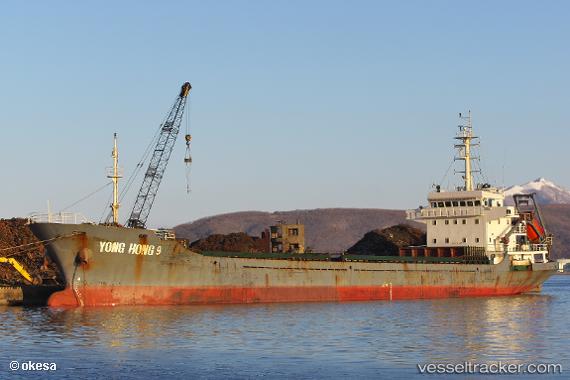
Vessel Yong Hong 9 IMO: 9571337, MMSI: 312432000 General Cargo Ship
UTC, 22.31966, 114.06154, course: 190, speed: 0
UTC, 22.31967, 114.06130, course: 167, speed: 0
2026-01-14 22:59:50 UTC, 22.31945, 114.06172, course: 209, speed: 0
Live AIS position:
UTC. Near Ma Wan),
updated 2026-01-14 22:59:50 UTC.
Find the position of the vessel Yong Hong 9 on the map. The latter are known coordinates and path.
marine traffic ship tracker show on live map
The current position of vessel Yong Hong 9 is 22.31945 lat / 114.06172 lng. Updated: 2026-01-14 22:59:50 UTCDetails:
Last coordinates of the vessel:
UTC, 22.31965, 114.06159, course: 191, speed: 0UTC, 22.31966, 114.06154, course: 190, speed: 0
UTC, 22.31967, 114.06130, course: 167, speed: 0
2026-01-14 22:59:50 UTC, 22.31945, 114.06172, course: 209, speed: 0