 vesseltracker.com
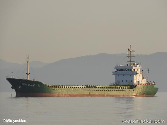
Vessel JIN DONG 5 IMO: 9367126, MMSI: 312689000 General Cargo Ship
UTC, 43.91232, 28.83039, course: -1, speed: 4.5
UTC, 43.79500, 28.87500, course: -1, speed: 5
2026-03-09 17:11:15 UTC, 43.68401, 28.90344, course: -1, speed: 4
Live Vessel JIN DONG 5 Analytics (details, animations, etc.)
Live AIS position: UTC. 16 nm SE of MANGALIA), updated 2026-03-09 17:11:15 UTC.Find the position of the vessel JIN DONG 5 on the map. The latter are known coordinates and path.
marine traffic ship tracker show on live map
The current position of vessel JIN DONG 5 is 43.68401 lat / 28.90344 lng. Updated: 2026-03-09 17:11:15 UTCCurrently sailing under the flag of Belize
JIN DONG 5 built in 2005 year
Deadweight:
4241 tDetails:
Last coordinates of the vessel:
UTC, 44.03454, 28.78887, course: -1, speed: 4.5UTC, 43.91232, 28.83039, course: -1, speed: 4.5
UTC, 43.79500, 28.87500, course: -1, speed: 5
2026-03-09 17:11:15 UTC, 43.68401, 28.90344, course: -1, speed: 4