 vesseltracker.com
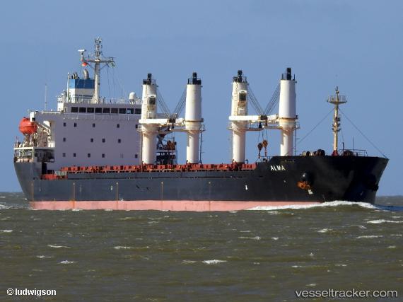
Vessel HMZ ISLAND IMO: 9231676, MMSI: 314001009 Bulk Carrier
UTC, 40.84122, 29.27177, course: -1, speed: 0
UTC, 40.84127, 29.27180, course: -1, speed: 0
2026-02-24 06:14:21 UTC, 40.84132, 29.27177, course: -1, speed: 0
Live AIS position:
UTC. Near TUZLA),
updated 2026-02-24 06:14:21 UTC.
Find the position of the vessel HMZ ISLAND on the map. The latter are known coordinates and path.
marine traffic ship tracker show on live map
The current position of vessel HMZ ISLAND is 40.84132 lat / 29.27177 lng. Updated: 2026-02-24 06:14:21 UTCCurrently sailing under the flag of Barbados
Details:
Last coordinates of the vessel:
UTC, 40.84119, 29.27176, course: -1, speed: 0UTC, 40.84122, 29.27177, course: -1, speed: 0
UTC, 40.84127, 29.27180, course: -1, speed: 0
2026-02-24 06:14:21 UTC, 40.84132, 29.27177, course: -1, speed: 0