 vesseltracker.com
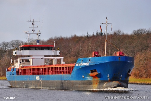
Vessel Fluvius Tavy IMO: 9501710, MMSI: 314426000 General Cargo Ship
UTC, 53.72084, -6.30395, course: -1, speed: 0
UTC, 53.72084, -6.30395, course: -1, speed: 0
2026-03-02 12:12:06 UTC, 53.72084, -6.30395, course: -1, speed: 0
Live AIS position:
UTC. Near Tom Roes Point Terminal/Drogheda),
updated 2026-03-02 12:12:06 UTC.
Find the position of the vessel Fluvius Tavy on the map. The latter are known coordinates and path.
marine traffic ship tracker show on live map
The current position of vessel Fluvius Tavy is 53.72084 lat / -6.30395 lng. Updated: 2026-03-02 12:12:06 UTCCurrently sailing under the flag of Barbados
Fluvius Tavy built in 2009 year
Deadweight:
4200 tDetails:
Last coordinates of the vessel:
UTC, 53.72087, -6.30394, course: -1, speed: 0UTC, 53.72084, -6.30395, course: -1, speed: 0
UTC, 53.72084, -6.30395, course: -1, speed: 0
2026-03-02 12:12:06 UTC, 53.72084, -6.30395, course: -1, speed: 0