 vesseltracker.com
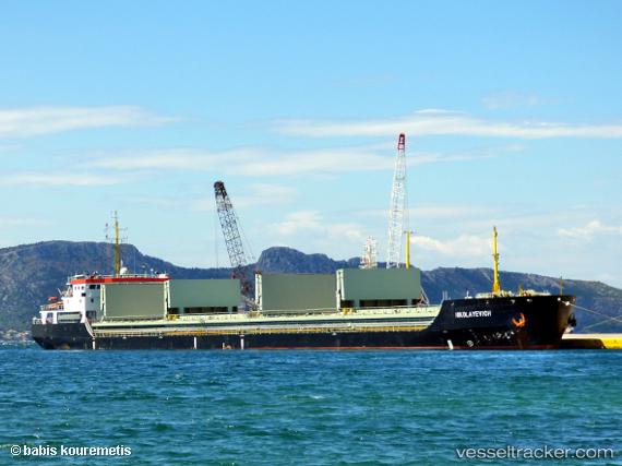
Find the position of the vessel Balkan Marmara on the map. The latter are known coordinates and path.
marine traffic ship tracker show on live map
The current position of vessel Balkan Marmara is 40.736 lat / 28.9411 lng. Updated: 2024-05-05 13:41:46 UTCCurrently sailing under the flag of Barbados
Port of registry:
Bridgetown (capital of Barbados)Gross tonnage:
5880Service entry:
2016-01-01T00:00:00ZDetails:
Last coordinates of the vessel:
UTC, 40.7527, 28.9574, course: 312, speed: 1UTC, 40.736, 28.9411, course: 321, speed: 1.1
UTC, 40.736, 28.9411, course: 321, speed: 1.1
2024-05-05 13:41:46 UTC, 40.736, 28.9411, course: 321, speed: 1.1