 vesseltracker.com
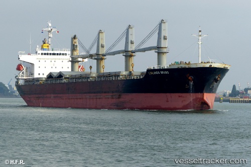
Find the position of the vessel BC Каллисто on the map. The latter are known coordinates and path.
marine traffic ship tracker show on live map
The current position of vessel BC Каллисто is 40.9732 lat / 28.9369 lng. Updated: 2025-09-03 09:48:02 UTCCurrently sailing under the flag of Barbados
BC Каллисто built in 2010 year
Deadweight:
32280 tDetails:
Last coordinates of the vessel:
UTC, 40.9732, 28.9369, course: 25, speed: 0UTC, 40.9732, 28.9369, course: 25, speed: 0
UTC, 40.9732, 28.9369, course: 25, speed: 0
2025-09-03 09:48:02 UTC, 40.9732, 28.9369, course: 25, speed: 0
Track of the vessel in the last 14 days
The ship also appears on the maps: