 vesseltracker.com
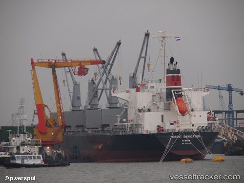
Vessel NAXOS IMO: 9610224, MMSI: 314601000 Bulk Carrier
UTC, -8.74103, 13.23896, course: 281, speed: 0.1
UTC, -8.73966, 13.23876, course: 237, speed: 0.2
2026-01-28 07:56:49 UTC, -8.73937, 13.23835, course: 220, speed: 0.1
Live AIS position:
UTC. Near Luanda),
updated 2026-01-28 07:56:49 UTC.
Find the position of the vessel NAXOS on the map. The latter are known coordinates and path.
marine traffic ship tracker show on live map
The current position of vessel NAXOS is -8.73937 lat / 13.23835 lng. Updated: 2026-01-28 07:56:49 UTCCurrently sailing under the flag of Barbados
NAXOS built in 2012 year
Deadweight:
36360 tDetails:
Last coordinates of the vessel:
UTC, -8.73943, 13.23836, course: 215, speed: 0.2UTC, -8.74103, 13.23896, course: 281, speed: 0.1
UTC, -8.73966, 13.23876, course: 237, speed: 0.2
2026-01-28 07:56:49 UTC, -8.73937, 13.23835, course: 220, speed: 0.1