 vesseltracker.com
Find the position of the vessel BSL NORDIC on the map. The latter are known coordinates and path.
marine traffic ship tracker show on live map
The current position of vessel BSL NORDIC is 44.43071 lat / 38.20569 lng. Updated: 2025-10-02 10:19:14 UTCCurrently sailing under the flag of Barbados
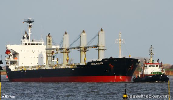
BSL NORDIC built in 2002 year
Deadweight:
28616 tDetails:
Last coordinates of the vessel:
UTC, 44.50112, 38.13576, course: 141, speed: 5UTC, 44.50091, 38.13464, course: 138, speed: 6.9
UTC, 44.44020, 38.21002, course: 139, speed: 14.7
2025-10-02 10:19:14 UTC, 44.43071, 38.20569, course: 137, speed: 7.7