 vesseltracker.com
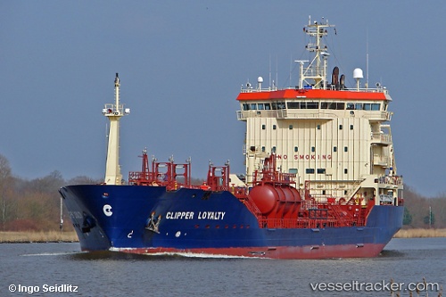
Vessel ATA OCEAN IMO: 9373929, MMSI: 314853000 Oil/Chemical Tanker
UTC, 43.33698, -3.03906, course: 306, speed: 0
UTC, 43.33697, -3.03905, course: 306, speed: 0
2026-02-24 11:41:30 UTC, 43.33695, -3.03905, course: 307, speed: 0
Live AIS position:
UTC. Near Santurce),
updated 2026-02-24 11:41:30 UTC.
Find the position of the vessel ATA OCEAN on the map. The latter are known coordinates and path.
marine traffic ship tracker show on live map
The current position of vessel ATA OCEAN is 43.33695 lat / -3.03905 lng. Updated: 2026-02-24 11:41:30 UTCCurrently sailing under the flag of Barbados
Details:
Last coordinates of the vessel:
UTC, 43.33697, -3.03906, course: 306, speed: 0UTC, 43.33698, -3.03906, course: 306, speed: 0
UTC, 43.33697, -3.03905, course: 306, speed: 0
2026-02-24 11:41:30 UTC, 43.33695, -3.03905, course: 307, speed: 0