 vesseltracker.com
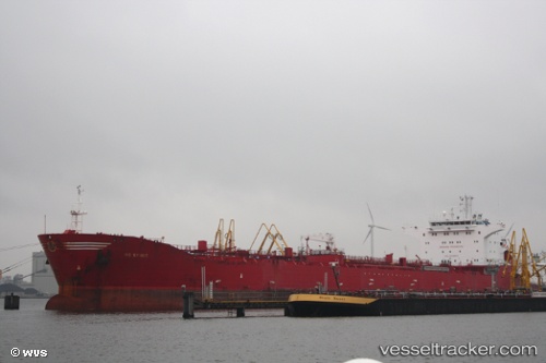
Find the position of the vessel SAGA on the map. The latter are known coordinates and path.
marine traffic ship tracker show on live map
The current position of vessel SAGA is 41.3052 lat / 36.4055 lng. Updated: 2025-05-30 08:59:34 UTCCurrently sailing under the flag of Barbados
SAGA built in 0 year
Deadweight:
0 tDetails:
Last coordinates of the vessel:
UTC, 41.305, 36.4061, course: 217, speed: 0.2UTC, 41.3052, 36.4053, course: 177, speed: 0
UTC, 41.3052, 36.4055, course: 187, speed: 0
UTC, 41.3052, 36.4055, course: 187, speed: 0
2025-05-30 08:59:34 UTC, 41.3052, 36.4055, course: 187, speed: 0