 vesseltracker.com
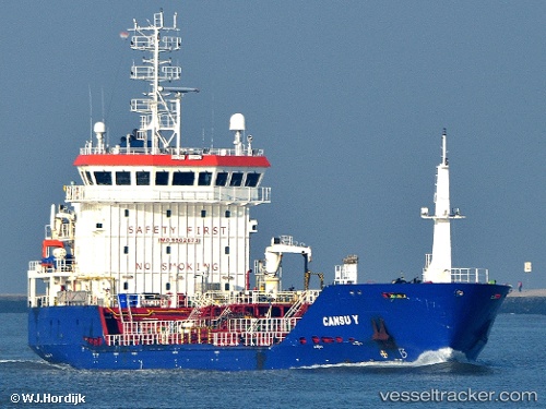
Vessel CANSU Y IMO: 9502673, MMSI: 314924000 Oil/Chemical Tanker
UTC, 37.91703, 23.08781, course: 236, speed: 0
UTC, 37.91703, 23.08780, course: 236, speed: 0
2026-02-25 08:21:45 UTC, 37.91703, 23.08780, course: 236, speed: 0
Live AIS position:
UTC. Near AGIOI THEODORI),
updated 2026-02-25 08:21:45 UTC.
Find the position of the vessel CANSU Y on the map. The latter are known coordinates and path.
marine traffic ship tracker show on live map
The current position of vessel CANSU Y is 37.91703 lat / 23.08780 lng. Updated: 2026-02-25 08:21:45 UTCCurrently sailing under the flag of Barbados
Details:
Last coordinates of the vessel:
UTC, 37.91708, 23.08778, course: 236, speed: 0UTC, 37.91703, 23.08781, course: 236, speed: 0
UTC, 37.91703, 23.08780, course: 236, speed: 0
2026-02-25 08:21:45 UTC, 37.91703, 23.08780, course: 236, speed: 0