 vesseltracker.com
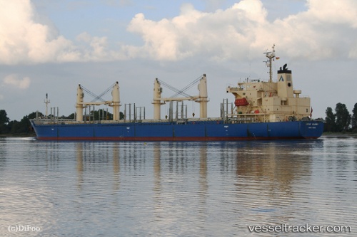
Vessel DSM HARBOUR IMO: 9268928, MMSI: 314952000 Bulk Carrier
UTC, 28.10143, -13.64056, course: -1, speed: 10.4
UTC, 27.79500, -13.88500, course: -1, speed: 10
2026-03-24 19:18:20 UTC, 27.57833, -14.06167, course: -1, speed: 11
Live Vessel DSM HARBOUR Analytics (details, animations, etc.)
Live AIS position: UTC. 33 nm SE of MORRO DEL JABLE), updated 2026-03-24 19:18:20 UTC.Find the position of the vessel DSM HARBOUR on the map. The latter are known coordinates and path.
marine traffic ship tracker show on live map
The current position of vessel DSM HARBOUR is 27.57833 lat / -14.06167 lng. Updated: 2026-03-24 19:18:20 UTCCurrently sailing under the flag of Barbados
Details:
Last coordinates of the vessel:
UTC, 28.33028, -13.45585, course: -1, speed: 9.9UTC, 28.10143, -13.64056, course: -1, speed: 10.4
UTC, 27.79500, -13.88500, course: -1, speed: 10
2026-03-24 19:18:20 UTC, 27.57833, -14.06167, course: -1, speed: 11