 vesseltracker.com
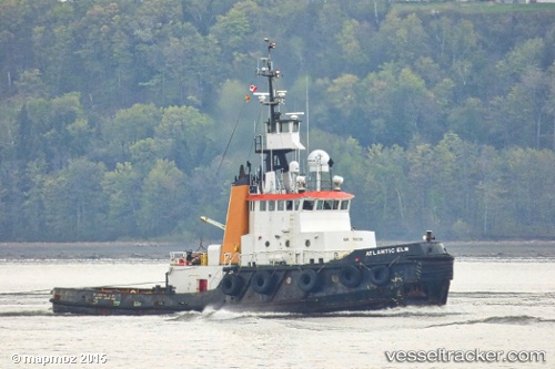
Find the position of the vessel Atlantic Elm on the map. The latter are known coordinates and path.
marine traffic ship tracker show on live map
The current position of vessel Atlantic Elm is 49.0625 lat / -58.3573 lng. Updated: 2025-04-18 13:46:07 UTCGross tonnage:
381Service entry:
1980-01-01T00:00:00ZDetails:
Last coordinates of the vessel:
UTC, 49.0625, -58.3573, course: 251, speed: 0UTC, 49.0625, -58.3573, course: 251, speed: 0
UTC, 49.0625, -58.3573, course: 251, speed: 0
2025-04-18 13:46:07 UTC, 49.0625, -58.3573, course: 251, speed: 0