 vesseltracker.com
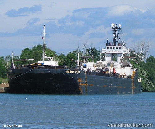
Vessel Everlast IMO: 7527332, MMSI: 316003880 Pusher Tug
UTC, 43.26735, -79.78657, course: 18, speed: 0
UTC, 43.26735, -79.78658, course: 18, speed: 0
2026-01-17 06:27:31 UTC, 43.26735, -79.78657, course: 18, speed: 0
Live AIS position:
UTC. Near Hannon),
updated 2026-01-17 06:27:31 UTC.
Find the position of the vessel Everlast on the map. The latter are known coordinates and path.
marine traffic ship tracker show on live map
The current position of vessel Everlast is 43.26735 lat / -79.78657 lng. Updated: 2026-01-17 06:27:31 UTCCurrently sailing under the flag of Canada
Everlast built in 1977 year
Deadweight:
336 tDetails:
Last coordinates of the vessel:
UTC, 43.26735, -79.78657, course: 18, speed: 0UTC, 43.26735, -79.78657, course: 18, speed: 0
UTC, 43.26735, -79.78658, course: 18, speed: 0
2026-01-17 06:27:31 UTC, 43.26735, -79.78657, course: 18, speed: 0