 vesseltracker.com
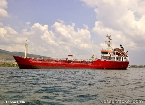
Vessel Sterling Energy IMO: 9277058, MMSI: 316024041 Chemical Oil Products Tanker
Live AIS position:
UTC. Near Hannon),
updated 2026-01-02 14:51:56 UTC.
Find the position of the vessel Sterling Energy on the map. The latter are known coordinates and path.
marine traffic ship tracker show on live map
The current position of vessel Sterling Energy is 43.26915 lat / -79.78535 lng. Updated: 2026-01-02 14:51:56 UTCDetails:
Last coordinates of the vessel:
2026-01-02 14:51:56 UTC, 43.26915, -79.78535, course: -1, speed: 0