 vesseltracker.com
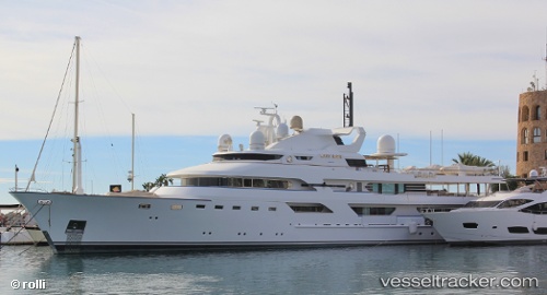
Vessel Lady Haya IMO: 1003827, MMSI: 319004600 Yacht
UTC, 44.40834, 8.91995, course: 254, speed: 0
UTC, 44.40838, 8.91995, course: 254, speed: 0.1
2026-01-18 09:42:58 UTC, 44.40838, 8.91995, course: 254, speed: 0
Live AIS position:
UTC. Near Genova),
updated 2026-01-18 09:42:58 UTC.
Find the position of the vessel Lady Haya on the map. The latter are known coordinates and path.
marine traffic ship tracker show on live map
The current position of vessel Lady Haya is 44.40838 lat / 8.91995 lng. Updated: 2026-01-18 09:42:58 UTCDetails:
Last coordinates of the vessel:
UTC, 44.40833, 8.91992, course: 254, speed: 0UTC, 44.40834, 8.91995, course: 254, speed: 0
UTC, 44.40838, 8.91995, course: 254, speed: 0.1
2026-01-18 09:42:58 UTC, 44.40838, 8.91995, course: 254, speed: 0