 vesseltracker.com
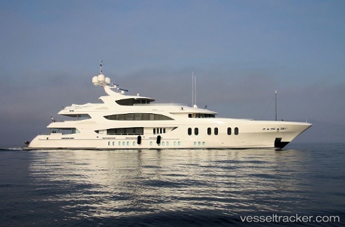
Vessel Liberty IMO: 9599664, MMSI: 319039300 Service Ship
UTC, 26.70194, -80.04615, course: 359, speed: 0
UTC, 26.70194, -80.04614, course: 359, speed: 0
2026-03-02 06:06:19 UTC, 26.70167, -80.04500, course: -1, speed: 0
Live AIS position:
UTC. Near Rivera Beach),
updated 2026-03-02 06:06:19 UTC.
Find the position of the vessel Liberty on the map. The latter are known coordinates and path.
marine traffic ship tracker show on live map
The current position of vessel Liberty is 26.70167 lat / -80.04500 lng. Updated: 2026-03-02 06:06:19 UTCCurrently sailing under the flag of Cayman Is
Details:
Last coordinates of the vessel:
UTC, 26.70195, -80.04615, course: 0, speed: 0UTC, 26.70194, -80.04615, course: 359, speed: 0
UTC, 26.70194, -80.04614, course: 359, speed: 0
2026-03-02 06:06:19 UTC, 26.70167, -80.04500, course: -1, speed: 0