 vesseltracker.com
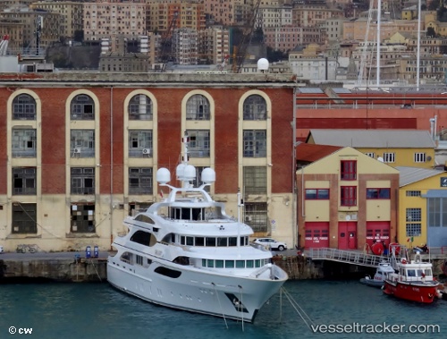
Vessel Galaxy IMO: 1008231, MMSI: 319055900 Service Ship
UTC, 17.01218, -61.77162, course: 248, speed: 0.1
UTC, 17.01213, -61.77159, course: 247, speed: 0.1
2026-01-18 21:31:21 UTC, 17.01218, -61.77161, course: 248, speed: 0.1
Live AIS position:
UTC. Near ANTIGUA),
updated 2026-01-18 21:31:21 UTC.
Find the position of the vessel Galaxy on the map. The latter are known coordinates and path.
marine traffic ship tracker show on live map
The current position of vessel Galaxy is 17.01218 lat / -61.77161 lng. Updated: 2026-01-18 21:31:21 UTCDetails:
Last coordinates of the vessel:
UTC, 17.01216, -61.77161, course: 247, speed: 0UTC, 17.01218, -61.77162, course: 248, speed: 0.1
UTC, 17.01213, -61.77159, course: 247, speed: 0.1
2026-01-18 21:31:21 UTC, 17.01218, -61.77161, course: 248, speed: 0.1