 vesseltracker.com
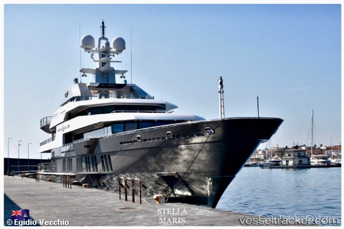
Vessel Stellamaris IMO: 1011109, MMSI: 319088700 Service Ship
UTC, 18.01848, -63.04529, course: 332, speed: 0.1
UTC, 18.01848, -63.04529, course: 333, speed: 0
2026-01-18 17:34:42 UTC, 18.01848, -63.04528, course: 333, speed: 0
Live AIS position:
UTC. Near PHILIPSBURG),
updated 2026-01-18 17:34:42 UTC.
Find the position of the vessel Stellamaris on the map. The latter are known coordinates and path.
marine traffic ship tracker show on live map
The current position of vessel Stellamaris is 18.01848 lat / -63.04528 lng. Updated: 2026-01-18 17:34:42 UTCDetails:
Last coordinates of the vessel:
UTC, 18.01849, -63.04529, course: 332, speed: 0.1UTC, 18.01848, -63.04529, course: 332, speed: 0.1
UTC, 18.01848, -63.04529, course: 333, speed: 0
2026-01-18 17:34:42 UTC, 18.01848, -63.04528, course: 333, speed: 0