 vesseltracker.com
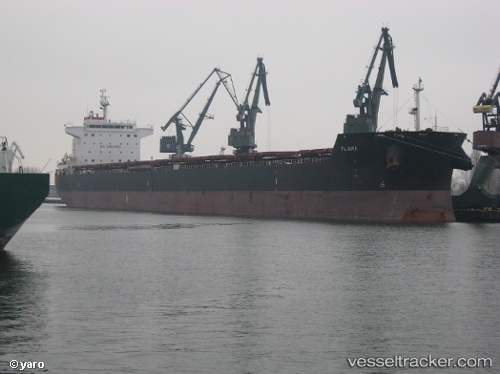
Vessel Star Flame IMO: 9470076, MMSI: 319115400 Bulk Carrier
UTC, 30.44217, 49.04308, course: -1, speed: 0
UTC, 30.44219, 49.04310, course: -1, speed: 0
2026-03-03 04:32:00 UTC, 30.44218, 49.04306, course: -1, speed: 0
Live AIS position:
UTC. Near BANDAR IMAM KHOMEINI),
updated 2026-03-03 04:32:00 UTC.
Find the position of the vessel Star Flame on the map. The latter are known coordinates and path.
marine traffic ship tracker show on live map
The current position of vessel Star Flame is 30.44218 lat / 49.04306 lng. Updated: 2026-03-03 04:32:00 UTCDetails:
Last coordinates of the vessel:
UTC, 30.44216, 49.04307, course: -1, speed: 0UTC, 30.44217, 49.04308, course: -1, speed: 0
UTC, 30.44219, 49.04310, course: -1, speed: 0
2026-03-03 04:32:00 UTC, 30.44218, 49.04306, course: -1, speed: 0