 vesseltracker.com
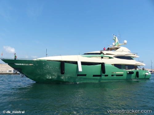
Vessel Almaha IMO: 9615224, MMSI: 319122100 Service Ship
UTC, 37.93165, 23.68014, course: 63, speed: 0
UTC, 37.93163, 23.68014, course: 63, speed: 0
2026-02-01 16:30:06 UTC, 37.93164, 23.68017, course: 63, speed: 0
Live AIS position:
UTC. Near FLISVOS),
updated 2026-02-01 16:30:06 UTC.
Find the position of the vessel Almaha on the map. The latter are known coordinates and path.
marine traffic ship tracker show on live map
The current position of vessel Almaha is 37.93164 lat / 23.68017 lng. Updated: 2026-02-01 16:30:06 UTCCurrently sailing under the flag of Cayman Is
Details:
Last coordinates of the vessel:
UTC, 37.93163, 23.68015, course: 63, speed: 0UTC, 37.93165, 23.68014, course: 63, speed: 0
UTC, 37.93163, 23.68014, course: 63, speed: 0
2026-02-01 16:30:06 UTC, 37.93164, 23.68017, course: 63, speed: 0