 vesseltracker.com
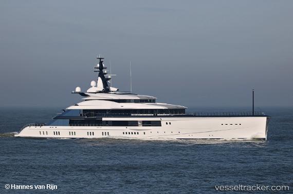
Vessel Bravo Eugenia IMO: 1012921, MMSI: 319156800 Sailing Vessel
UTC, 18.03105, -63.10672, course: 105, speed: 0.2
UTC, 18.03109, -63.10642, course: 95, speed: 0.1
2026-01-18 22:51:49 UTC, 18.03146, -63.10669, course: 128, speed: 0.1
Live AIS position:
UTC. Near ST MAARTEN),
updated 2026-01-18 22:51:49 UTC.
Find the position of the vessel Bravo Eugenia on the map. The latter are known coordinates and path.
marine traffic ship tracker show on live map
The current position of vessel Bravo Eugenia is 18.03146 lat / -63.10669 lng. Updated: 2026-01-18 22:51:49 UTCCurrently sailing under the flag of Cayman Is
Details:
Last coordinates of the vessel:
UTC, 18.03167, -63.10667, course: -1, speed: 0UTC, 18.03105, -63.10672, course: 105, speed: 0.2
UTC, 18.03109, -63.10642, course: 95, speed: 0.1
2026-01-18 22:51:49 UTC, 18.03146, -63.10669, course: 128, speed: 0.1