 vesseltracker.com
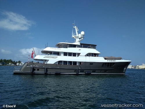
Vessel Caryali IMO: 1011862, MMSI: 319237000 Service Ship
UTC, 41.21050, 1.72987, course: -1, speed: 0
UTC, 41.21050, 1.72987, course: -1, speed: 0
2026-03-03 13:03:52 UTC, 41.21050, 1.72987, course: -1, speed: 0
Live AIS position:
UTC. Near VILANOVA),
updated 2026-03-03 13:03:52 UTC.
Find the position of the vessel Caryali on the map. The latter are known coordinates and path.
marine traffic ship tracker show on live map
The current position of vessel Caryali is 41.21050 lat / 1.72987 lng. Updated: 2026-03-03 13:03:52 UTCCurrently sailing under the flag of Cayman Is
Caryali built in 2012 year
Deadweight:
129 tDetails:
Last coordinates of the vessel:
UTC, 41.21050, 1.72988, course: 342, speed: 0UTC, 41.21050, 1.72987, course: -1, speed: 0
UTC, 41.21050, 1.72987, course: -1, speed: 0
2026-03-03 13:03:52 UTC, 41.21050, 1.72987, course: -1, speed: 0