 vesseltracker.com
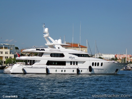
Vessel Amica Mea IMO: 1007770, MMSI: 319260000 Service Ship
UTC, 18.03681, -63.09200, course: 330, speed: 0
UTC, 18.03683, -63.09202, course: 331, speed: 0
2026-01-31 14:06:23 UTC, 18.03682, -63.09201, course: 331, speed: 0
Live AIS position:
UTC. Near ST MAARTEN),
updated 2026-01-31 14:06:23 UTC.
Find the position of the vessel Amica Mea on the map. The latter are known coordinates and path.
marine traffic ship tracker show on live map
The current position of vessel Amica Mea is 18.03682 lat / -63.09201 lng. Updated: 2026-01-31 14:06:23 UTCCurrently sailing under the flag of Cayman Is
Amica Mea built in 2004 year
Deadweight:
75 tDetails:
Last coordinates of the vessel:
UTC, 18.03667, -63.09167, course: -1, speed: 0UTC, 18.03681, -63.09200, course: 330, speed: 0
UTC, 18.03683, -63.09202, course: 331, speed: 0
2026-01-31 14:06:23 UTC, 18.03682, -63.09201, course: 331, speed: 0