 vesseltracker.com
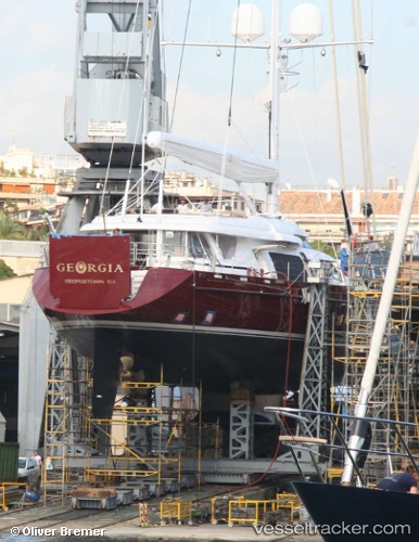
Vessel Georgia IMO: 1006300, MMSI: 319436000 Service Ship
UTC, 26.10277, -80.11675, course: 90, speed: 0
UTC, 26.10278, -80.11673, course: 90, speed: 0
2026-02-01 03:50:01 UTC, 26.10277, -80.11672, course: 90, speed: 0
Live AIS position:
UTC. Near Port Everglades),
updated 2026-02-01 03:50:01 UTC.
Find the position of the vessel Georgia on the map. The latter are known coordinates and path.
marine traffic ship tracker show on live map
The current position of vessel Georgia is 26.10277 lat / -80.11672 lng. Updated: 2026-02-01 03:50:01 UTCDetails:
Last coordinates of the vessel:
UTC, 26.10275, -80.11673, course: 90, speed: 0UTC, 26.10277, -80.11675, course: 90, speed: 0
UTC, 26.10278, -80.11673, course: 90, speed: 0
2026-02-01 03:50:01 UTC, 26.10277, -80.11672, course: 90, speed: 0