 vesseltracker.com
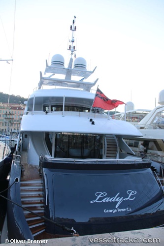
Vessel Lady L IMO: 9653044, MMSI: 319732000 Service Ship
UTC, 32.70333, -117.16167, course: -1, speed: 0
UTC, 32.70450, -117.16192, course: 214, speed: 0
2026-01-28 11:23:45 UTC, 32.70455, -117.16195, course: 215, speed: 0
Live AIS position:
UTC. Near San Diego),
updated 2026-01-28 11:23:45 UTC.
Find the position of the vessel Lady L on the map. The latter are known coordinates and path.
marine traffic ship tracker show on live map
The current position of vessel Lady L is 32.70455 lat / -117.16195 lng. Updated: 2026-01-28 11:23:45 UTCCurrently sailing under the flag of Cayman Is
Lady L built in 2012 year
Deadweight:
115 tDetails:
Last coordinates of the vessel:
UTC, 32.70453, -117.16196, course: -1, speed: 0UTC, 32.70333, -117.16167, course: -1, speed: 0
UTC, 32.70450, -117.16192, course: 214, speed: 0
2026-01-28 11:23:45 UTC, 32.70455, -117.16195, course: 215, speed: 0