 vesseltracker.com
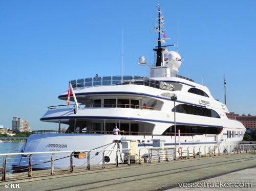
Vessel Ambrosia IMO: 1007902, MMSI: 319837000 Service Ship
Live AIS position:
UTC. Near DUBAI MARINA),
updated 2026-01-17 07:09:54 UTC.
Find the position of the vessel Ambrosia on the map. The latter are known coordinates and path.
marine traffic ship tracker show on live map
The current position of vessel Ambrosia is 25.09739 lat / 55.14403 lng. Updated: 2026-01-17 07:09:54 UTCDetails:
Last coordinates of the vessel:
2026-01-17 07:09:54 UTC, 25.09739, 55.14403, course: 131, speed: 0