 vesseltracker.com
Find the position of the vessel Mary A on the map. The latter are known coordinates and path.
marine traffic ship tracker show on live map
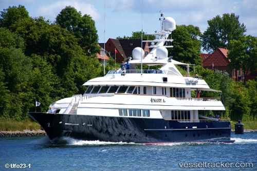
The current position of vessel Mary A is 52.21768 lat / 4.55912 lng. Updated: 2025-09-22 11:46:21 UTCCurrently sailing under the flag of Cayman Is
Mary A built in 2001 year
Details:
Last coordinates of the vessel:
2025-09-22 11:46:21 UTC, 52.21768, 4.55912, course: 107, speed: 0