 vesseltracker.com
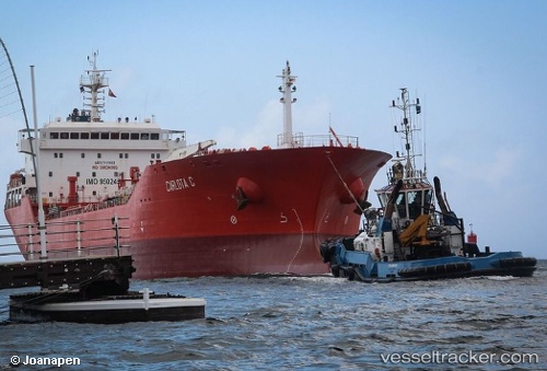
Find the position of the vessel MARIA CRISTINA on the map. The latter are known coordinates and path.
marine traffic ship tracker show on live map
The current position of vessel MARIA CRISTINA is 23.135 lat / -82.3283 lng. Updated: 2025-08-13 23:41:58 UTCCurrently sailing under the flag of Cuba
MARIA CRISTINA built in 2010 year
Deadweight:
16906 tDetails:
Last coordinates of the vessel:
UTC, 23.135, -82.3283, course: -1, speed: 0UTC, 23.135, -82.3283, course: -1, speed: 0
UTC, 23.1353, -82.3293, course: 109, speed: 0
2025-08-13 23:41:58 UTC, 23.135, -82.3283, course: -1, speed: 0