 vesseltracker.com
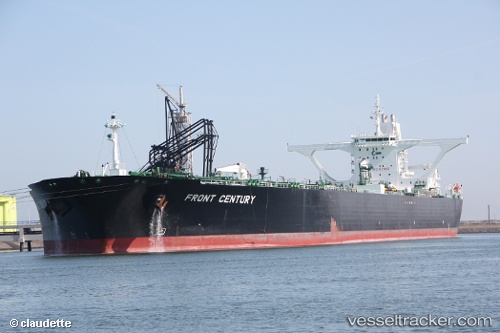
Find the position of the vessel FT ISLAND on the map. The latter are known coordinates and path.
marine traffic ship tracker show on live map
The current position of vessel FT ISLAND is 1.94799 lat / 104.693 lng. Updated: 2024-04-26 08:39:43 UTCCurrently sailing under the flag of Honduras
FT ISLAND built in 1998 year
Deadweight:
311189 tDetails:
Last coordinates of the vessel:
UTC, 1.94606, 104.678, course: 325, speed: 0UTC, 1.94595, 104.678, course: 318, speed: 0
UTC, 1.94192, 104.691, course: 350, speed: 0.4
2024-04-26 08:39:43 UTC, 1.94799, 104.693, course: 128, speed: 3.4