 vesseltracker.com
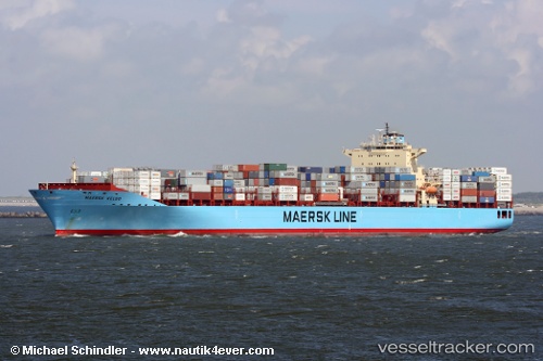
Find the position of the vessel Maersk Hartford on the map. The latter are known coordinates and path.
marine traffic ship tracker show on live map
The current position of vessel Maersk Hartford is 38.99376 lat / -74.08906 lng. Updated: 2025-11-12 15:55:11 UTCCurrently sailing under the flag of USA
Maersk Hartford built in 2007 year
Deadweight:
84783 tDetails:
Last coordinates of the vessel:
UTC, 39.48199, -73.95441, course: 193, speed: 7.9UTC, 39.32116, -73.99739, course: 197, speed: 7.7
UTC, 39.29097, -74.00757, course: 196, speed: 9.7
2025-11-12 15:55:11 UTC, 38.99376, -74.08906, course: 193, speed: 12.2