 vesseltracker.com
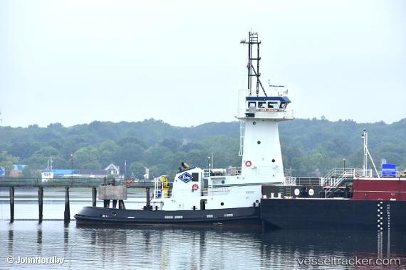
Vessel Cape Lookout IMO: 9857353, MMSI: 338458000 Tug
UTC, 27.81635, -97.42341, course: 99, speed: 0
UTC, 27.81638, -97.42344, course: 99, speed: 0
2026-01-18 02:21:30 UTC, 27.81635, -97.42345, course: 99, speed: 0
Live AIS position:
UTC. Near Corpus Christi),
updated 2026-01-18 02:21:30 UTC.
Find the position of the vessel Cape Lookout on the map. The latter are known coordinates and path.
marine traffic ship tracker show on live map
The current position of vessel Cape Lookout is 27.81635 lat / -97.42345 lng. Updated: 2026-01-18 02:21:30 UTCCurrently sailing under the flag of USA
Details:
Last coordinates of the vessel:
UTC, 27.81636, -97.42339, course: 100, speed: 0UTC, 27.81635, -97.42341, course: 99, speed: 0
UTC, 27.81638, -97.42344, course: 99, speed: 0
2026-01-18 02:21:30 UTC, 27.81635, -97.42345, course: 99, speed: 0