 vesseltracker.com
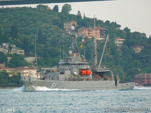
Vessel Grasp IMO: 8434324, MMSI: 338842000 Dredger
UTC, 45.56500, -122.71667, course: -1, speed: 0
UTC, 45.56500, -122.71667, course: -1, speed: 0
2026-03-01 18:26:34 UTC, 45.56500, -122.71667, course: -1, speed: 0
Live AIS position:
UTC. Near Portland),
updated 2026-03-01 18:26:34 UTC.
Find the position of the vessel Grasp on the map. The latter are known coordinates and path.
marine traffic ship tracker show on live map
The current position of vessel Grasp is 45.56500 lat / -122.71667 lng. Updated: 2026-03-01 18:26:34 UTCCurrently sailing under the flag of USA
Grasp built in 1985 year
Deadweight:
681 tDetails:
Last coordinates of the vessel:
UTC, 45.56500, -122.71667, course: -1, speed: 0UTC, 45.56500, -122.71667, course: -1, speed: 0
UTC, 45.56500, -122.71667, course: -1, speed: 0
2026-03-01 18:26:34 UTC, 45.56500, -122.71667, course: -1, speed: 0