 vesseltracker.com
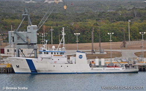
Vessel Kings Pointer IMO: 7925302, MMSI: 338990000 Training Ship
UTC, 40.81167, -73.76500, course: -1, speed: 0
UTC, 40.81167, -73.76551, course: 359, speed: 0
2026-03-06 08:03:38 UTC, 40.81164, -73.76551, course: 359, speed: 0
Live Vessel Kings Pointer Analytics (details, animations, etc.)
Live AIS position: UTC. Near KINGS POINT), updated 2026-03-06 08:03:38 UTC.Find the position of the vessel Kings Pointer on the map. The latter are known coordinates and path.
marine traffic ship tracker show on live map
The current position of vessel Kings Pointer is 40.81164 lat / -73.76551 lng. Updated: 2026-03-06 08:03:38 UTCCurrently sailing under the flag of USA
Kings Pointer built in 1980 year
Deadweight:
592 tDetails:
Last coordinates of the vessel:
UTC, 40.81163, -73.76551, course: 0, speed: 0UTC, 40.81167, -73.76500, course: -1, speed: 0
UTC, 40.81167, -73.76551, course: 359, speed: 0
2026-03-06 08:03:38 UTC, 40.81164, -73.76551, course: 359, speed: 0