 vesseltracker.com
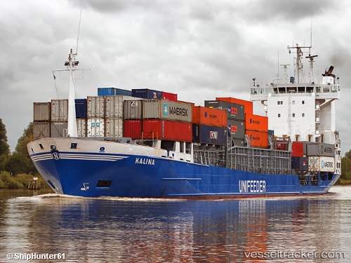
Vessel PLUTO IMO: 9130444, MMSI: 341274000 Container Ship
UTC, 18.88838, 72.85836, course: 1, speed: 0
UTC, 18.89047, 72.85906, course: 208, speed: 0
2026-02-07 18:04:30 UTC, 18.89051, 72.85898, course: 193, speed: 0
Live AIS position:
UTC. Near Mumbai),
updated 2026-02-07 18:04:30 UTC.
Find the position of the vessel PLUTO on the map. The latter are known coordinates and path.
marine traffic ship tracker show on live map
The current position of vessel PLUTO is 18.89051 lat / 72.85898 lng. Updated: 2026-02-07 18:04:30 UTCCurrently sailing under the flag of St.Kitts and Nevis
PLUTO built in 1996 year
Deadweight:
7221 tDetails:
Last coordinates of the vessel:
UTC, 18.88851, 72.85808, course: -1, speed: 0UTC, 18.88838, 72.85836, course: 1, speed: 0
UTC, 18.89047, 72.85906, course: 208, speed: 0
2026-02-07 18:04:30 UTC, 18.89051, 72.85898, course: 193, speed: 0