 vesseltracker.com
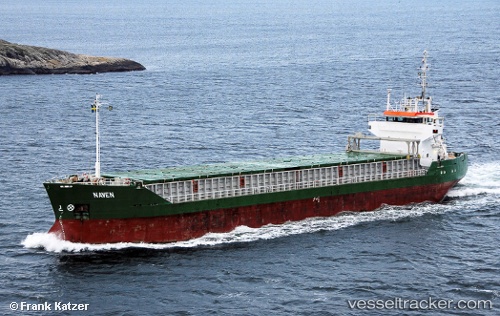
Vessel JOAV I IMO: 9020285, MMSI: 341317002 General Cargo
UTC, 32.81265, 35.03647, course: 340, speed: 0
UTC, 32.88491, 34.96689, course: 305, speed: 8.3
2026-03-24 16:01:36 UTC, 32.88491, 34.96689, course: 305, speed: 8.3
Live Vessel JOAV I Analytics (details, animations, etc.)
Live AIS position: UTC. Near Haifa), updated 2026-03-24 16:01:36 UTC.Find the position of the vessel JOAV I on the map. The latter are known coordinates and path.
marine traffic ship tracker show on live map
The current position of vessel JOAV I is 32.88491 lat / 34.96689 lng. Updated: 2026-03-24 16:01:36 UTCCurrently sailing under the flag of Saint Kitts and Nevis
Details:
Last coordinates of the vessel:
UTC, 32.81265, 35.03647, course: 340, speed: 0UTC, 32.81265, 35.03647, course: 340, speed: 0
UTC, 32.88491, 34.96689, course: 305, speed: 8.3
2026-03-24 16:01:36 UTC, 32.88491, 34.96689, course: 305, speed: 8.3