 vesseltracker.com
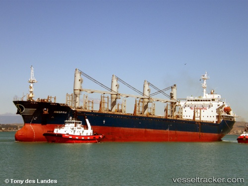
Find the position of the vessel AYAT on the map. The latter are known coordinates and path.
marine traffic ship tracker show on live map
The current position of vessel AYAT is 25.39872 lat / 56.44778 lng. Updated: 2025-10-19 15:58:39 UTCCurrently sailing under the flag of St.Kitts and Nevis
AYAT built in 2001 year
Deadweight:
28107 tDetails:
Last coordinates of the vessel:
UTC, 25.39872, 56.44778, course: -1, speed: 0UTC, 25.39872, 56.44778, course: -1, speed: 0
UTC, 25.39872, 56.44778, course: -1, speed: 0
2025-10-19 15:58:39 UTC, 25.39872, 56.44778, course: -1, speed: 0