 vesseltracker.com
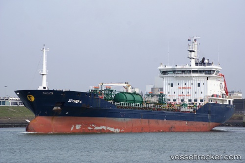
Vessel NYALA IMO: 9424223, MMSI: 341581000 Oil Products Tanker
UTC, 25.35202, 56.47654, course: 128, speed: 0
UTC, 25.35235, 56.47724, course: 174, speed: 0
2026-01-28 06:03:43 UTC, 25.35245, 56.47729, course: 174, speed: 0
Live AIS position:
UTC. Near KHORFAKKAN),
updated 2026-01-28 06:03:43 UTC.
Find the position of the vessel NYALA on the map. The latter are known coordinates and path.
marine traffic ship tracker show on live map
The current position of vessel NYALA is 25.35245 lat / 56.47729 lng. Updated: 2026-01-28 06:03:43 UTCCurrently sailing under the flag of St.Kitts and Nevis
NYALA built in 2007 year
Deadweight:
11276 tDetails:
Last coordinates of the vessel:
UTC, 25.35219, 56.47662, course: 139, speed: 0UTC, 25.35202, 56.47654, course: 128, speed: 0
UTC, 25.35235, 56.47724, course: 174, speed: 0
2026-01-28 06:03:43 UTC, 25.35245, 56.47729, course: 174, speed: 0