 vesseltracker.com
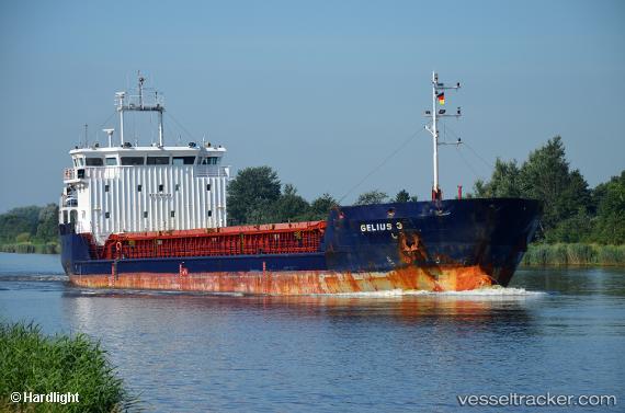
Find the position of the vessel Gelmond 3 on the map. The latter are known coordinates and path.
marine traffic ship tracker show on live map
The current position of vessel Gelmond 3 is 44.9127 lat / 36.5518 lng. Updated: 2024-04-28 10:15:41 UTCCurrently sailing under the flag of Saint Kitts and Nevis
Payload_mass:
3557 tonneGross tonnage:
2678Service entry:
2008-01-01T00:00:00ZDetails:
Last coordinates of the vessel:
UTC, 44.9127, 36.5518, course: 283, speed: 8.2UTC, 44.9127, 36.5518, course: 283, speed: 8.2
UTC, 44.9127, 36.5518, course: 283, speed: 8.2
2024-04-28 10:15:41 UTC, 44.9127, 36.5518, course: 283, speed: 8.2