 vesseltracker.com
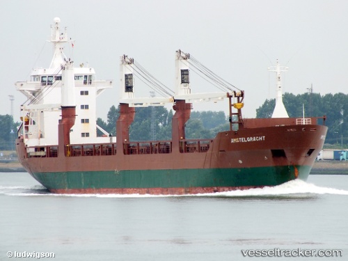
Vessel OCEAN FORCE IMO: 8821814, MMSI: 341627000 General Cargo
UTC, 40.64333, -8.72166, course: -1, speed: 0
UTC, 40.64333, -8.72166, course: -1, speed: 0
2026-03-05 22:04:51 UTC, 40.64333, -8.72166, course: -1, speed: 0
Live Vessel OCEAN FORCE Analytics (details, animations, etc.)
Live AIS position: UTC. Near Gafanha da Nazaré), updated 2026-03-05 22:04:51 UTC.Find the position of the vessel OCEAN FORCE on the map. The latter are known coordinates and path.
marine traffic ship tracker show on live map
The current position of vessel OCEAN FORCE is 40.64333 lat / -8.72166 lng. Updated: 2026-03-05 22:04:51 UTCCurrently sailing under the flag of Saint Kitts and Nevis
Details:
Last coordinates of the vessel:
UTC, 40.64333, -8.72166, course: -1, speed: 0UTC, 40.64333, -8.72166, course: -1, speed: 0
UTC, 40.64333, -8.72166, course: -1, speed: 0
2026-03-05 22:04:51 UTC, 40.64333, -8.72166, course: -1, speed: 0