 vesseltracker.com
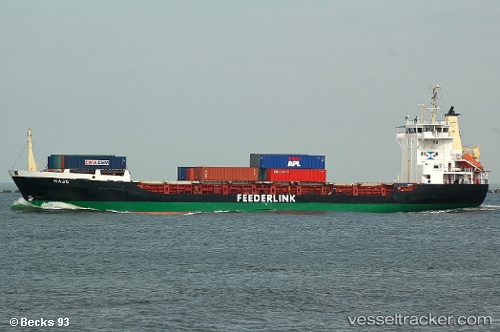
Vessel MANASSA M IMO: 8913021, MMSI: 341880001 General Cargo
UTC, 36.84898, 5.91720, course: -1, speed: 9.1
UTC, 36.92050, 6.01484, course: -1, speed: 9
2026-02-26 09:59:02 UTC, 37.14108, 6.43107, course: -1, speed: 8.3
Live AIS position:
UTC. Near Collo),
updated 2026-02-26 09:59:02 UTC.
Find the position of the vessel MANASSA M on the map. The latter are known coordinates and path.
marine traffic ship tracker show on live map
The current position of vessel MANASSA M is 37.14108 lat / 6.43107 lng. Updated: 2026-02-26 09:59:02 UTCCurrently sailing under the flag of Saint Kitts and Nevis
Details:
Last coordinates of the vessel:
UTC, 36.82134, 5.88310, course: -1, speed: 0UTC, 36.84898, 5.91720, course: -1, speed: 9.1
UTC, 36.92050, 6.01484, course: -1, speed: 9
2026-02-26 09:59:02 UTC, 37.14108, 6.43107, course: -1, speed: 8.3