 vesseltracker.com
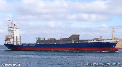
Vessel 'GRANGE BAY' IMO: 9138343, MMSI: 341884000
UTC, 18.88687, 72.85937, course: 24, speed: 0
UTC, 18.88783, 72.86071, course: 272, speed: 0
2026-02-14 12:26:47 UTC, 18.88877, 72.86026, course: 243, speed: 0
Live AIS position:
UTC. Near Mumbai),
updated 2026-02-14 12:26:47 UTC.
Find the position of the vessel 'GRANGE BAY' on the map. The latter are known coordinates and path.
marine traffic ship tracker show on live map
The current position of vessel 'GRANGE BAY' is 18.88877 lat / 72.86026 lng. Updated: 2026-02-14 12:26:47 UTCDetails:
Last coordinates of the vessel:
UTC, 18.88704, 72.85919, course: 38, speed: 0UTC, 18.88687, 72.85937, course: 24, speed: 0
UTC, 18.88783, 72.86071, course: 272, speed: 0
2026-02-14 12:26:47 UTC, 18.88877, 72.86026, course: 243, speed: 0