 vesseltracker.com
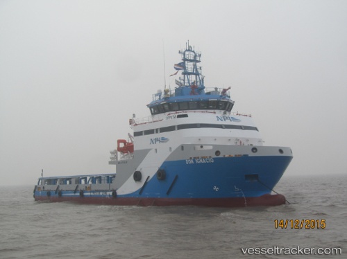
Vessel Don Ignacio IMO: 9753246, MMSI: 345070306 Offshore Tug Supply Ship
UTC, 18.43667, -93.18333, course: -1, speed: 0
UTC, 18.43667, -93.18333, course: -1, speed: 0
2026-01-15 15:45:55 UTC, 18.43667, -93.18333, course: -1, speed: 0
Live AIS position:
UTC. Near DOS BOCAS),
updated 2026-01-15 15:45:55 UTC.
Find the position of the vessel Don Ignacio on the map. The latter are known coordinates and path.
marine traffic ship tracker show on live map
The current position of vessel Don Ignacio is 18.43667 lat / -93.18333 lng. Updated: 2026-01-15 15:45:55 UTCCurrently sailing under the flag of Mexico
Details:
Last coordinates of the vessel:
UTC, 18.43673, -93.18374, course: 5, speed: 0UTC, 18.43667, -93.18333, course: -1, speed: 0
UTC, 18.43667, -93.18333, course: -1, speed: 0
2026-01-15 15:45:55 UTC, 18.43667, -93.18333, course: -1, speed: 0