 vesseltracker.com
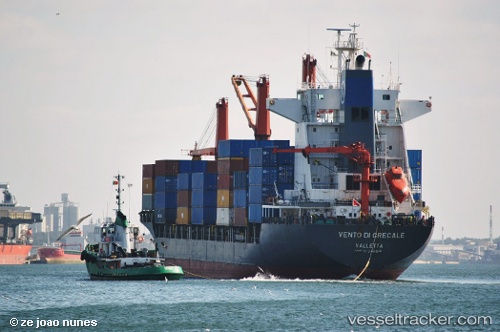
Vessel Oel Shasta IMO: 9134684, MMSI: 351218000 Container Ship
UTC, 20.84811, 106.86330, course: 313, speed: 0
UTC, 20.84813, 106.86329, course: 313, speed: 0
2026-02-21 03:18:15 UTC, 20.84814, 106.86330, course: 313, speed: 0
Live AIS position:
UTC. Near Nam Hai Dinh Vu Port),
updated 2026-02-21 03:18:15 UTC.
Find the position of the vessel Oel Shasta on the map. The latter are known coordinates and path.
marine traffic ship tracker show on live map
The current position of vessel Oel Shasta is 20.84814 lat / 106.86330 lng. Updated: 2026-02-21 03:18:15 UTCDetails:
Last coordinates of the vessel:
UTC, 20.84812, 106.86332, course: 313, speed: 0UTC, 20.84811, 106.86330, course: 313, speed: 0
UTC, 20.84813, 106.86329, course: 313, speed: 0
2026-02-21 03:18:15 UTC, 20.84814, 106.86330, course: 313, speed: 0