 vesseltracker.com
 KARADENIZ S
Current Status
Where is the vessel?
KARADENIZ S is currently in 16 nm S of Ras as Sidr, based on AIS data received about 1h ago.
Latest AIS update:
Current position: 29.30404° N, 32.66338° E (16 nm S of Ras as Sidr)
Average speed (last 7 days): Loading…
Average speed (last 30 days): Loading…
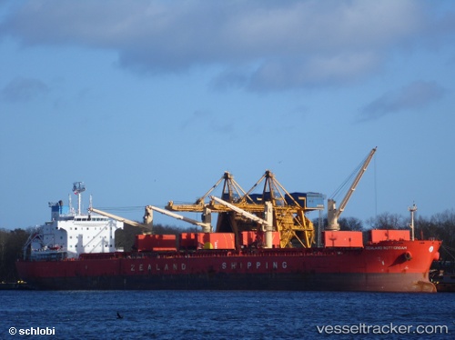
Vessel profile: KARADENIZ S is a Bulk Carrier with dimensions 190m x 32m.
This page combines live AIS, route history, probable destination signals, nearby traffic, and port activity for practical vessel monitoring.
The current position of vessel KARADENIZ S is 29.30404 lat / 32.66338 lng. Updated: 2026-05-16 17:27:44 UTCNearest reference points:
- Near Ras Sudr
- Near Al Adabiyah
- Near Bur Ibrahim
Currently sailing under the flag of Panama ![]()
KARADENIZ S built in 2012 year
Deadweight:
57157 tDetails:
Live Vessel KARADENIZ S Analytics (details, animations, etc.)
Recent AIS points (UTC):
2026-05-16 14:04:26 UTC · 29.89592, 32.54670 · SOG 7.7 kn · COG 171°2026-05-16 16:11:15 UTC · 29.52123, 32.55389 · SOG 11.1 kn · COG 153°
2026-05-16 16:24:34 UTC · 29.48360, 32.57314 · SOG 11.1 kn · COG 154°
2026-05-16 17:27:44 UTC · 29.30404, 32.66338 · SOG 11.2 kn · COG 154°