 vesseltracker.com
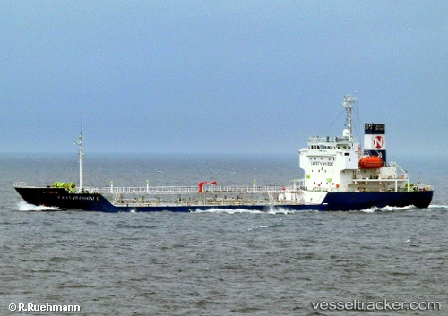
Vessel K.dadayli IMO: 9513191, MMSI: 351565000 General Cargo Ship
UTC, 43.10446, 8.82102, course: 88, speed: 11.2
UTC, 43.13167, 9.30500, course: -1, speed: 11
2026-01-29 13:30:34 UTC, 43.03095, 9.59049, course: 164, speed: 10.1
Live AIS position:
UTC. Near Macinaggio),
updated 2026-01-29 13:30:34 UTC.
Find the position of the vessel K.dadayli on the map. The latter are known coordinates and path.
marine traffic ship tracker show on live map
The current position of vessel K.dadayli is 43.03095 lat / 9.59049 lng. Updated: 2026-01-29 13:30:34 UTCCurrently sailing under the flag of Panama
K.dadayli built in 2009 year
Deadweight:
8200 tDetails:
Last coordinates of the vessel:
UTC, 43.04167, 8.14333, course: -1, speed: 10UTC, 43.10446, 8.82102, course: 88, speed: 11.2
UTC, 43.13167, 9.30500, course: -1, speed: 11
2026-01-29 13:30:34 UTC, 43.03095, 9.59049, course: 164, speed: 10.1