 vesseltracker.com
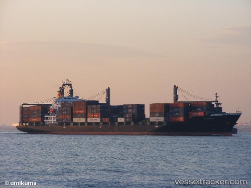
Vessel Kanway Galaxy IMO: 9163441, MMSI: 351663000 Container Ship
UTC, 35.56286, 139.85590, course: -1, speed: 0
UTC, 35.56294, 139.85583, course: 34, speed: 0
2026-02-26 21:22:44 UTC, 35.56295, 139.85590, course: -1, speed: 0
Live AIS position:
UTC. Near Aomi),
updated 2026-02-26 21:22:44 UTC.
Find the position of the vessel Kanway Galaxy on the map. The latter are known coordinates and path.
marine traffic ship tracker show on live map
The current position of vessel Kanway Galaxy is 35.56295 lat / 139.85590 lng. Updated: 2026-02-26 21:22:44 UTCCurrently sailing under the flag of Panama
Kanway Galaxy built in 1997 year
Deadweight:
24386 tDetails:
Last coordinates of the vessel:
UTC, 35.56270, 139.85638, course: 7, speed: 0.1UTC, 35.56286, 139.85590, course: -1, speed: 0
UTC, 35.56294, 139.85583, course: 34, speed: 0
2026-02-26 21:22:44 UTC, 35.56295, 139.85590, course: -1, speed: 0